Incheon to Busan in Four Days: Our Cross-Country Ride
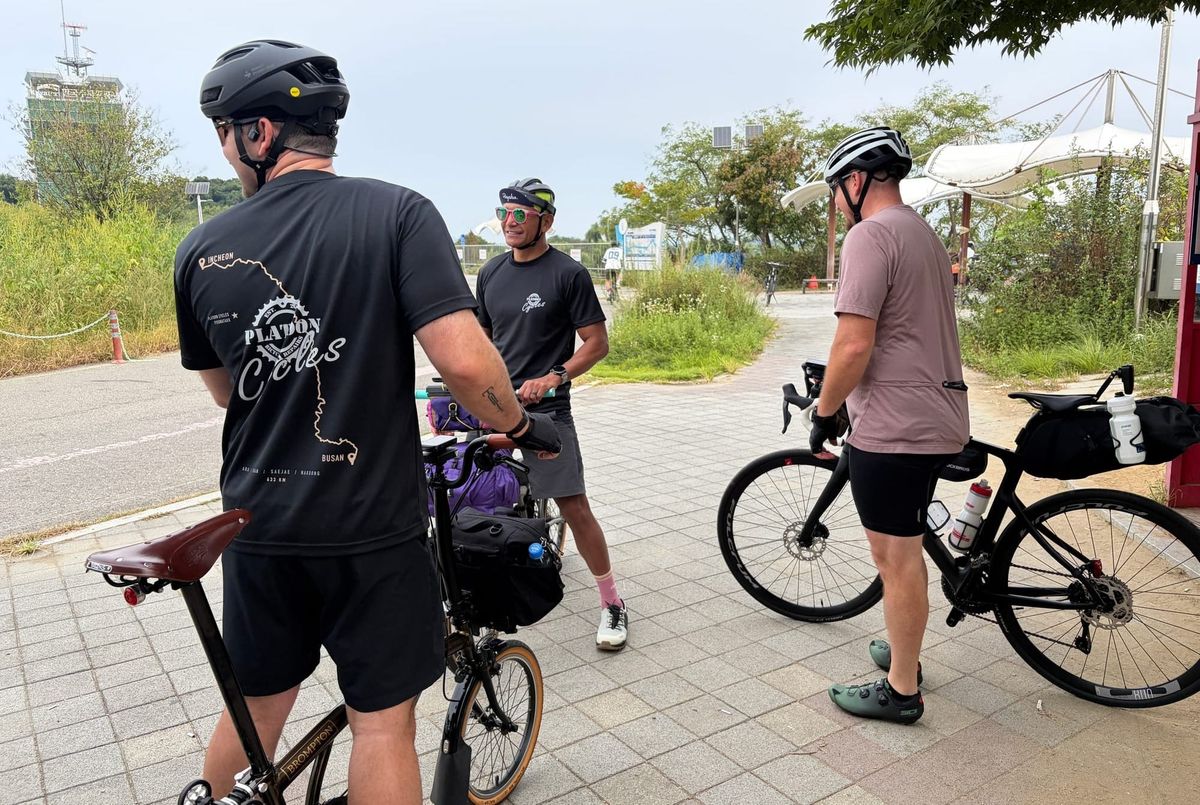
Over the Chuseok holiday, from September 25 to 28, six of us rode Korea's cross-country bike path from Incheon to Busan.
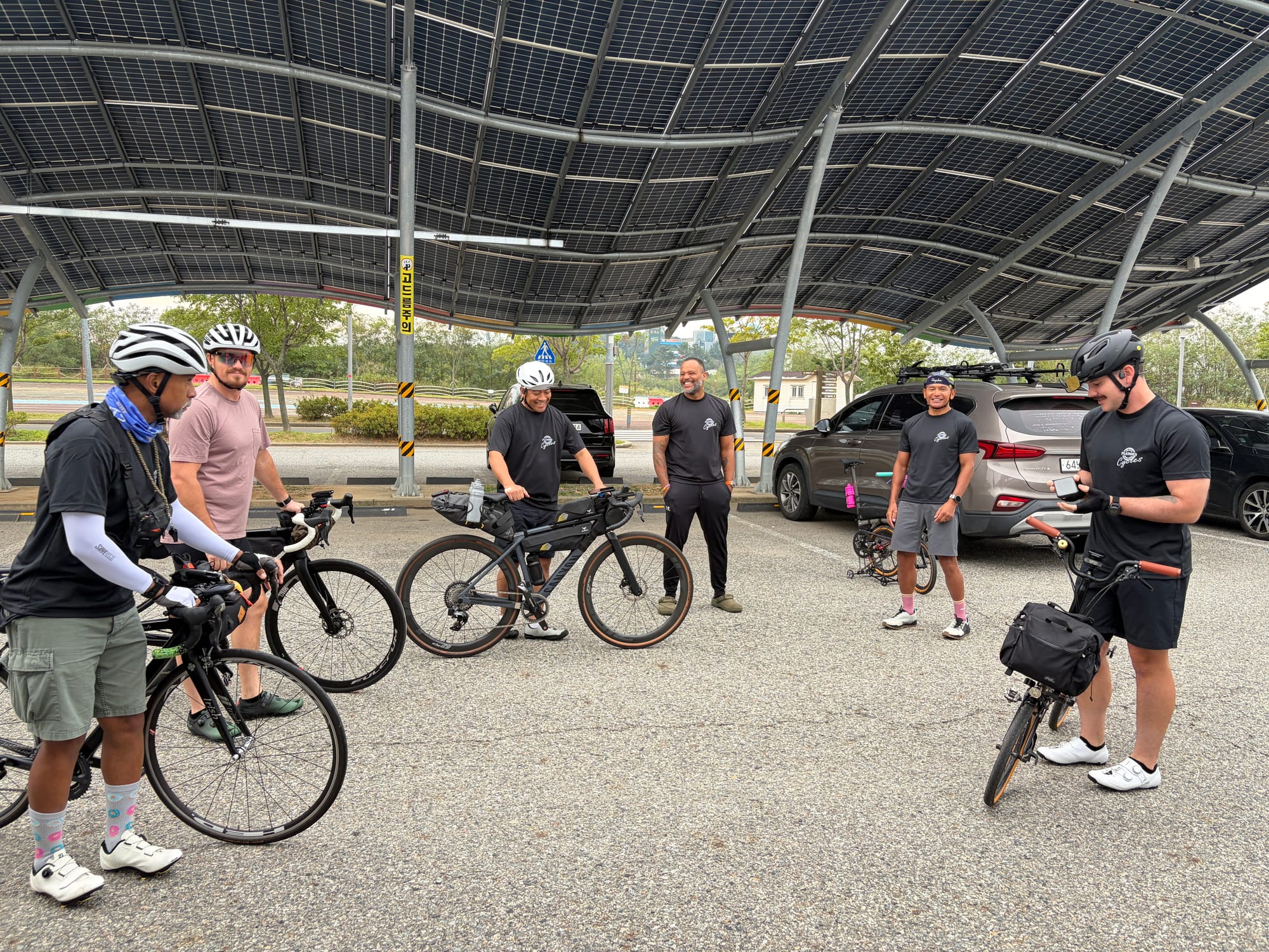
We were supposed to be seven. One of us couldn't make it in the end, so six lined up at the Ara West Sea Lock on the first morning. Most of the group are longtime customers of the shop, and some of us have known each other since the Yongsan days back in 2012. A few of us first met over a bike repair and kept showing up for rides.
I put the footage together into a video, so you can watch the ride before reading the details.
https://www.youtube.com/watch?v=c6uc0lu9OFY
The rest of this post is the ride in order, day by day.
Day 1 — Ara West Sea Lock to Yeoju
- Distance: 141 km
- Climbing: 446 m
- Start: 7:53 AM
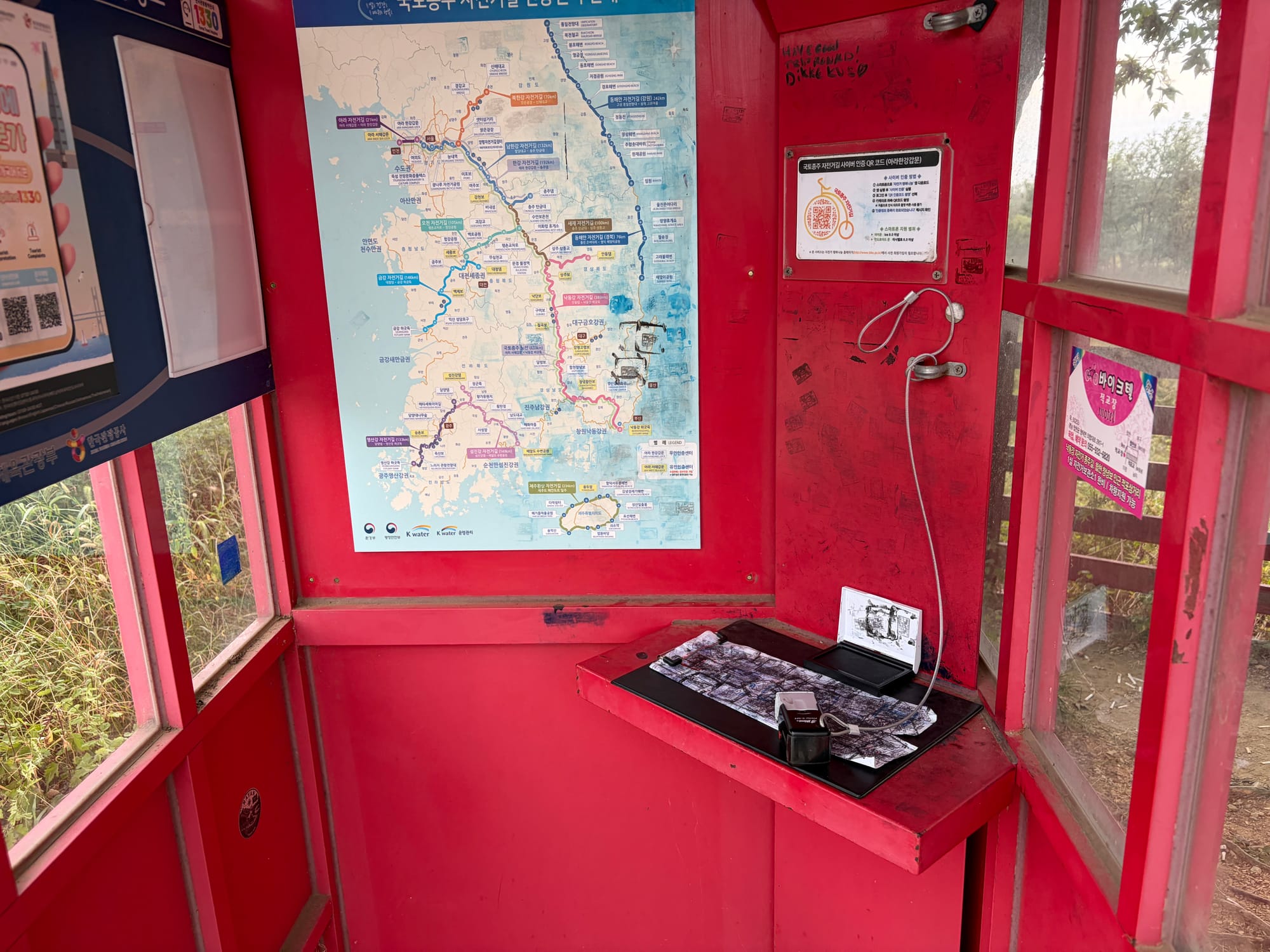
We started at the Ara West Sea Lock, stamped our passports, and followed the Ara Canal to the Han River. From there it is mostly flat, riverside riding through Seoul: Yeouido, Ttukseom, Gwangnaru, and then out past Paldang Bridge and along the old rail line at Neungnae Station.
We rode past the stamp booth at Yeouido without stopping. One of us noticed, turned around, and went back to get it. The rest of us took a long lunch break near Ttukseom while he did, which is why the middle of the day was slower than planned.
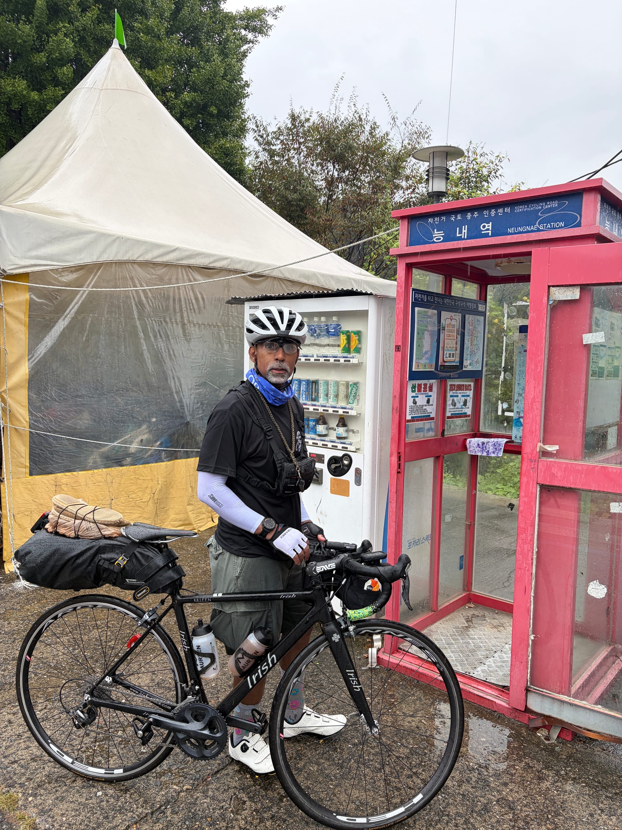
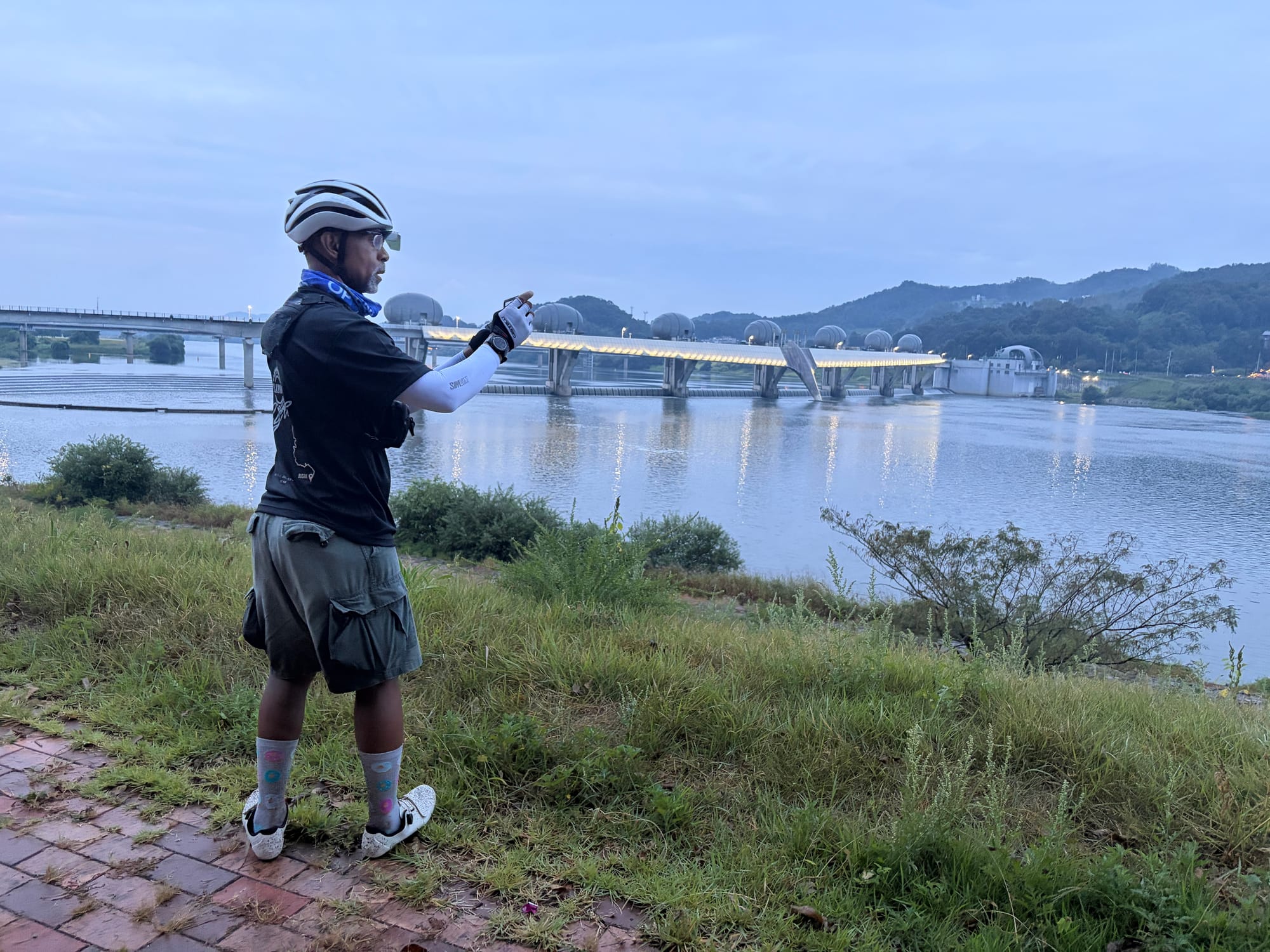
After Paldang we followed the Namhan River, passing Yangpyeong, Ipo Weir and Yeoju Weir. The sun set around 6:10 PM, and the last stretch to Yeoju was in the dark, with lights on. We finished at 7:26 PM.
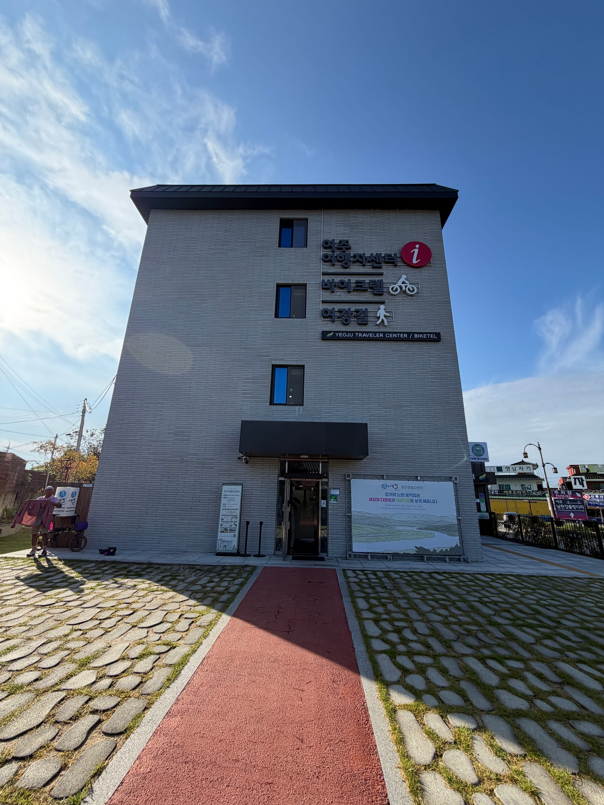
We stayed near the Yeoju Traveler Center, which also runs a "biketel" for cyclists.
Day 2 — Yeoju to Mungyeong
- Distance: 157 km
- Climbing: about 1,156 m
- Start: 8:32 AM
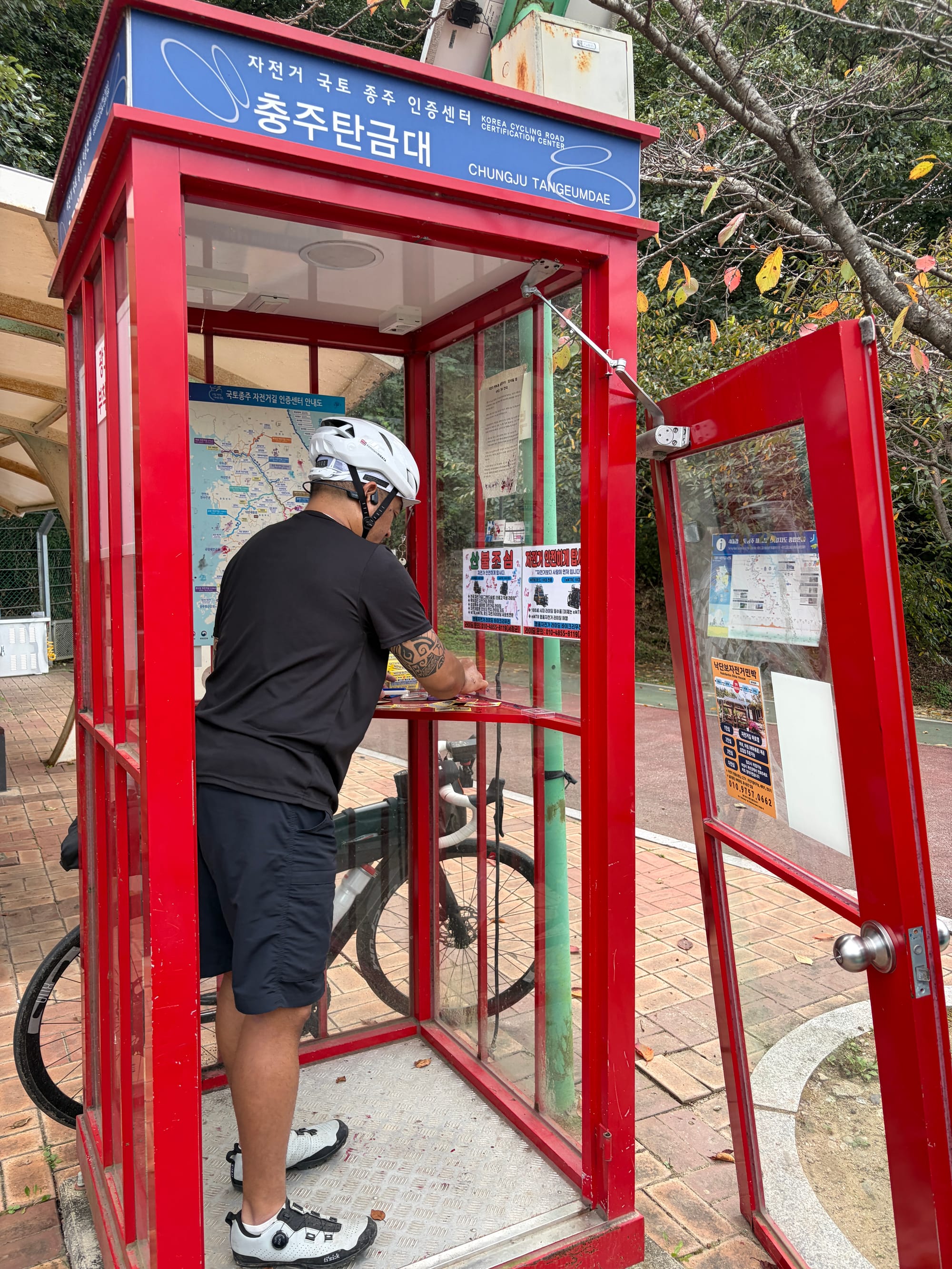
The second day is the one with the mountain pass. We left Yeoju in the early morning, passed Gangcheon Weir, and rode through Chungju. At the Chungju Tangeumdae stamp booth we all took our time with the passport, since this is where the route leaves the river and starts heading toward the pass.
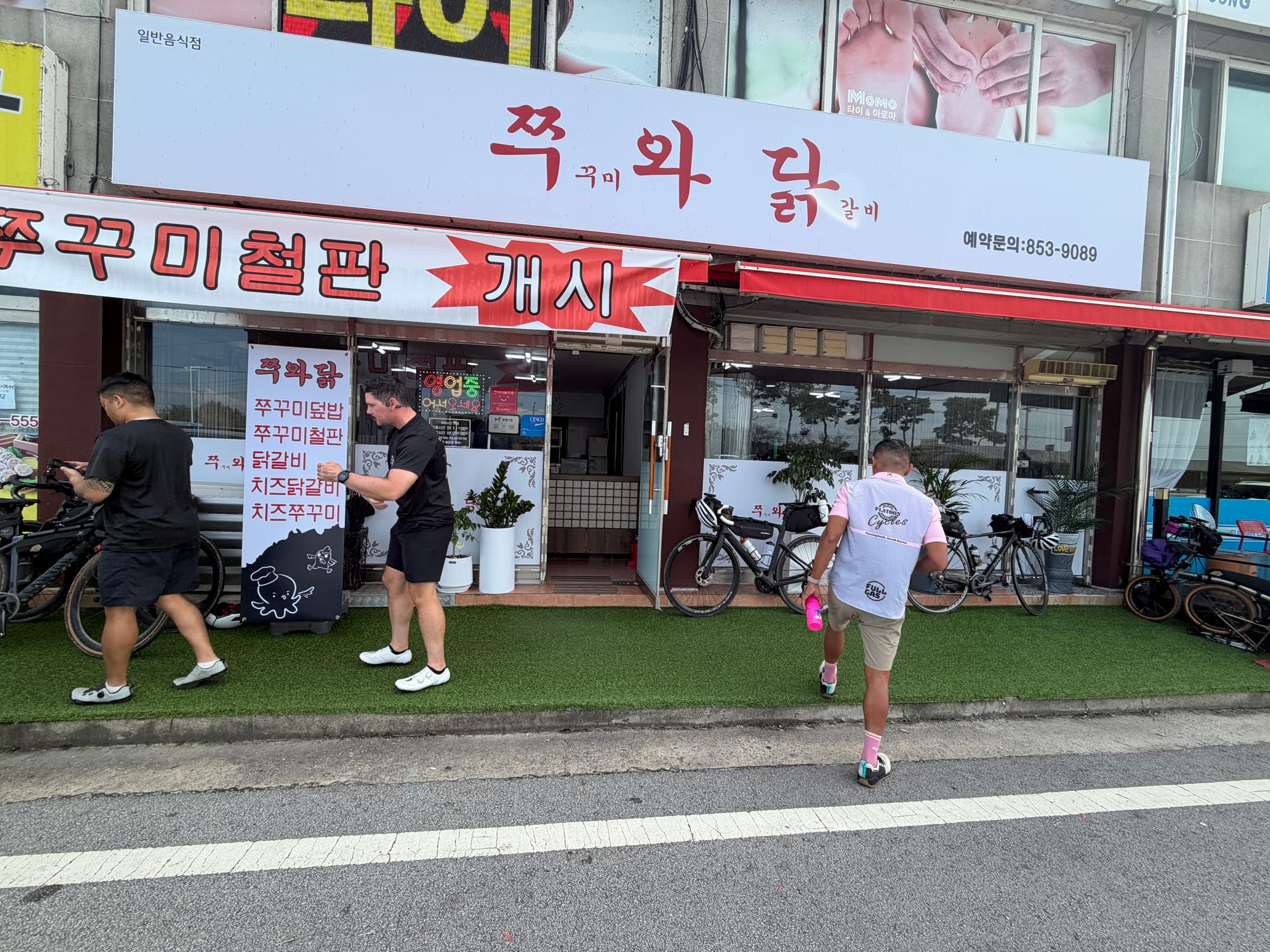
For lunch we found a small place that does grilled baby octopus and spicy chicken ribs on iron plates. We sat down at 1:36 PM. The menu ran from 11,000 to 16,000 won per person, and every dish is ordered for two or more, so a group of six gets through a lot of food. By the end, the pans were empty.
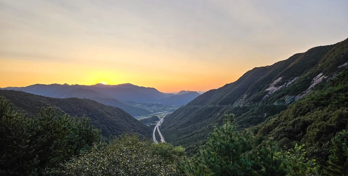
After lunch the road climbed toward Ihwaryeong, the pass that crosses from Chungcheong into Gyeongsang. Of the day's 1,156 m of climbing, almost 500 m comes in the 18 km between Suanbo and the top. We reached the summit a little before 8 PM, after dark. From there it is a long descent into Mungyeong, and we finished the day in the lights of town.
Day 3 — Mungyeong to Daegu (Dalseong)
- Distance: 154 km
- Climbing: 538 m
- Start: 8:46 AM
On day three the route joins the Nakdong River, and from here the weirs start to come one after another: Sangju, Nakdan, Gumi, Chilgok, Gangjeong-Goryeong and Dalseong. Each has its own stamp booth, so the day has a natural rhythm. Ride to a weir, stamp, ride to the next.
We stopped for lunch and a coffee along the way. At Sangju we also passed the Bicycle Museum, which is a good place to be a cyclist for a few minutes.
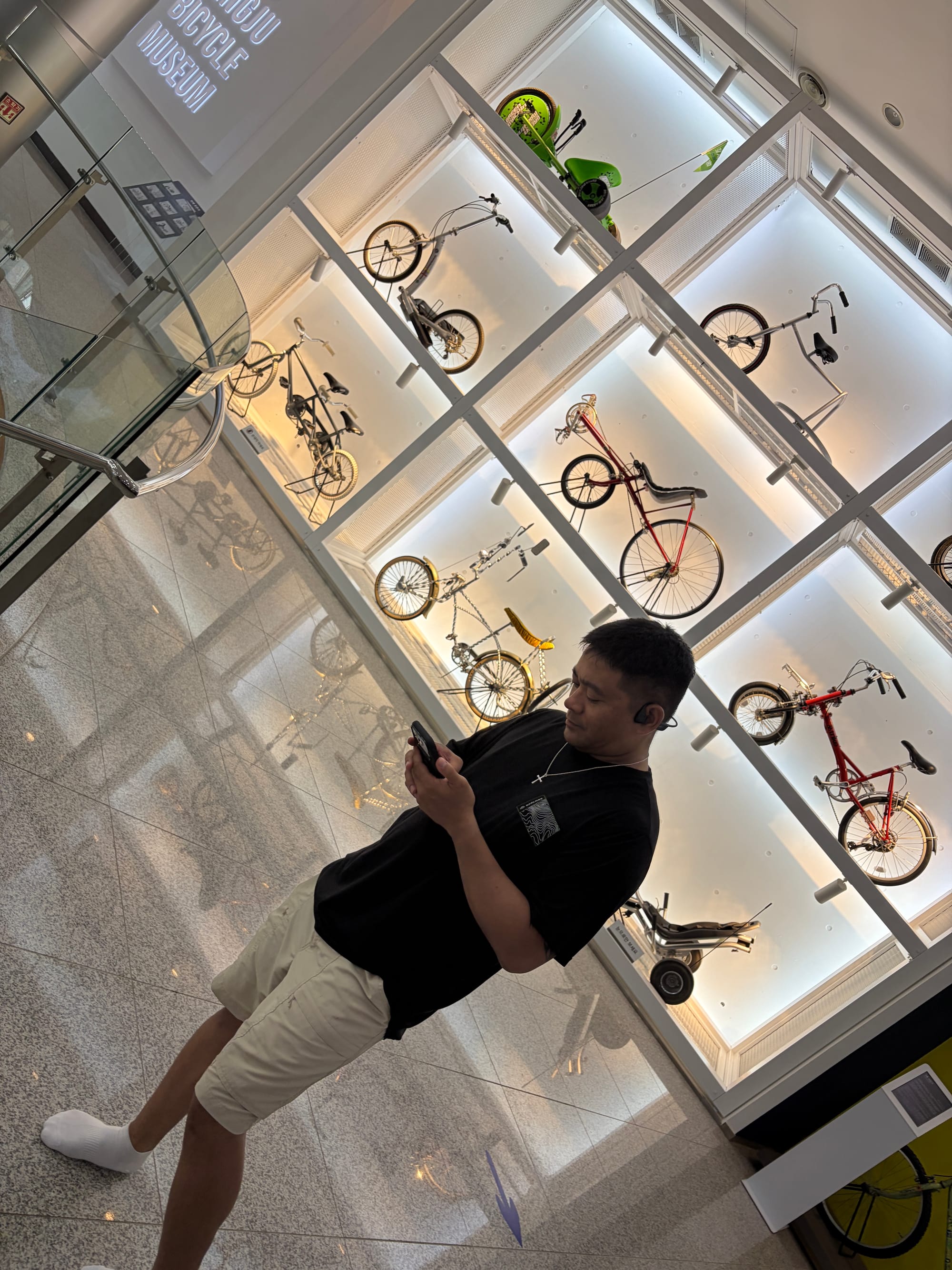
We finished in the dark again, arriving near Daegu at 8:52 PM.
Day 4 — Dalseong to the Nakdong River Estuary Bank
- Distance: 167 km
- Climbing: 868 m
- Start: 8:01 AM
- High: 35°C
The last day was the longest and the hottest. It was also the day we lost our way most.
Once we were on the Nakdong, the path and the roads kept disagreeing, and we took wrong turns more than once. Twice that cost us a hill we didn't need to climb: one near the start of the day, about 100 m of climbing in a single kilometer, and another in the afternoon, a steep kilometer of roughly 11%. Both could have been avoided by taking the road instead. We went over them anyway, and in the end it was part of the ride.
We passed Haman-Changnyeong Weir, took a south-bank detour near Susan Bridge as the sun went down, and rode the last three hours in the dark. We reached the Nakdong River Estuary Bank at 9:13 PM.
The GPX
We recorded the ride on our bike computers, and you can download the route we used here:
Please treat it as a reference, not as a final route.
- Day 2 (Yeoju to Mungyeong) was not recorded, so that section follows the government route data and our planned course instead of a GPS track.
- Two places on the Nakdong, a shortcut near Changnyeong and a south-bank road near Susan Bridge, are included as separate alternate tracks. We rode them, but we have not confirmed which one is the signed route.
- There is no elevation data in the file.
Signs on the path are what count on the day. If you find a spot where the file and the path disagree, tell us and we will fix it.
Closing
Four days, one river after another, and the same group of people through all of it. The passport is full, and the stories are better than the photos.
If you want the planning side, such as how the passport works, what to pack and where to sleep, we have a guide series here:
 Mike Kwak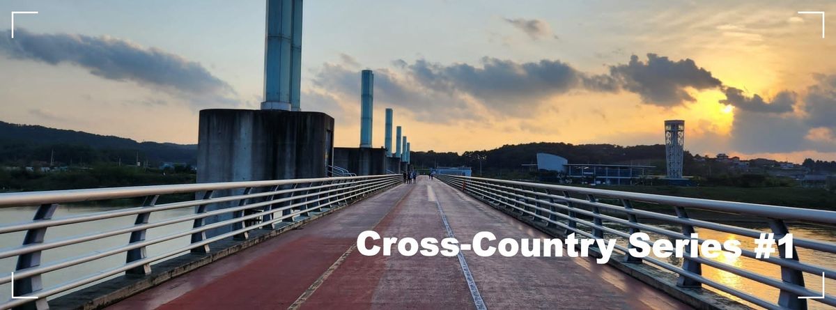
 Mike Kwak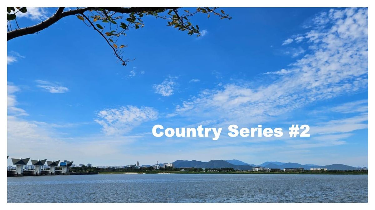
 Mike Kwak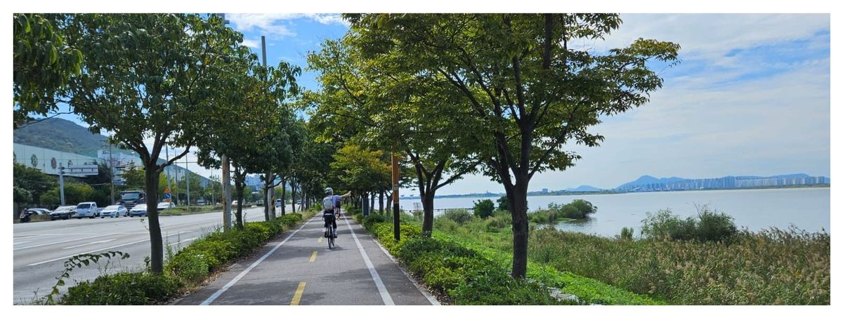
 Mike Kwak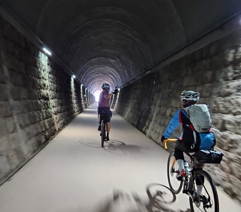
 Mike Kwak
 Mike Kwak
 Mike Kwak