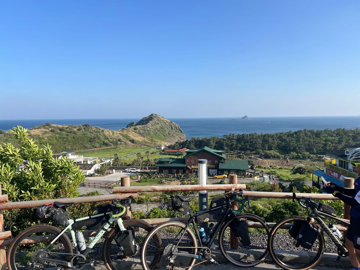

The Best Map App for Cycling in Korea (And the One Setting You Need to Know)
If you've tried using Google Maps to plan a bike ride in Korea, you already know the problem — it either puts you on a road that has no business being on a bike route, or it just doesn't work at all.
The app most cyclists in
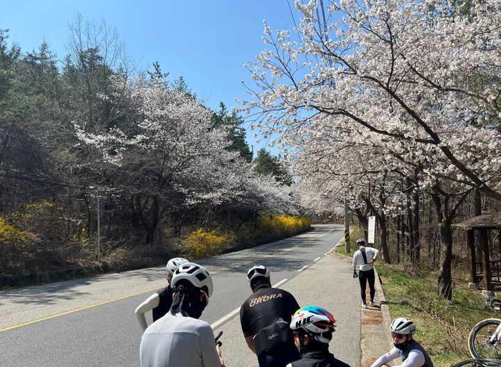
Cherry Blossoms by Bike — The Best Spots Near Camp Humphreys
Spring in Korea hits fast. One week the trees are bare, and the next, everything is pink and white and suddenly everyone is outside.
If you've got a bike — or you've been thinking about getting one — this is the week to use it. Here are the
![What I Wish I Knew Before My First Cross- [Country Cross-Country Series #7 Final]](https://storage.ghost.io/c/5d/01/5d010117-54ee-42c0-b578-a7c401c31b2b/content/images/size/w720/2026/03/20231001_180018-1.jpg)
What I Wish I Knew Before My First Cross- [Country Cross-Country Series #7 Final]
This is the last post in the series. Parts 1 through 6 gave you the facts — route, gear, budget, stages, food, navigation. This one is different. This is what I learned by doing it wrong first.
I've ridden the cross-country route and helped hundreds of riders prepare
![Navigation & Apps [Cross-Country Series #6]](https://storage.ghost.io/c/5d/01/5d010117-54ee-42c0-b578-a7c401c31b2b/content/images/size/w720/2026/03/20231004_101950-1.jpg)
Navigation & Apps [Cross-Country Series #6]
In Part 4, we walked through each stage of the route. In Part 5, we covered where to sleep and eat. This post is about not getting lost — and what to put on your phone (and handlebars) before you roll out of Incheon.
The cross-country route is well-marked.
![Where to Sleep & Eat Along the Way [Cross-Country Series #5]](https://storage.ghost.io/c/5d/01/5d010117-54ee-42c0-b578-a7c401c31b2b/content/images/size/w720/2026/03/F01DF418-A1C7-47BD-A8AF-BC4163592DA2_1_105_c-1-1.jpeg)
Where to Sleep & Eat Along the Way [Cross-Country Series #5]
In Part 2, we gave you a budget overview. In Part 4, we flagged where food and water get scarce. This post fills in the rest: where to actually sleep, what to actually eat, and how to handle it all when you don't speak Korean.
This is the
![Stage-by-Stage Breakdown - [Cross-Country Series #4]](https://storage.ghost.io/c/5d/01/5d010117-54ee-42c0-b578-a7c401c31b2b/content/images/size/w720/2026/03/A34CF531-304C-4877-8A26-47D7D7FE4853_1_105_c-1.jpeg)
Stage-by-Stage Breakdown - [Cross-Country Series #4]
In Part 2, we gave you a 5-day itinerary with distances and overnight cities. This post zooms in. Every section of the route, kilometer by kilometer — what the terrain looks like, where the hard parts are, where the views are, and what to watch out for.
Print this. Bookmark