Pyeongtaek to Seoul by Bike — The 5-River Route from Platoon Cycles
http://5happy.net/archives/9551
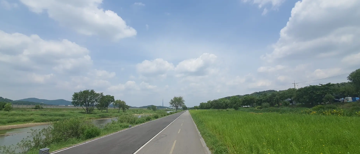
Excerpt: A flat, river-following route from our shop in Paengseong-eup all the way up to the Tancheon–Han River confluence in Jamsil. Five rivers, one lake, and almost no climbing. Komoot file ready to download.
A great route, written up by someone else
We didn't scout this one ourselves. The detailed write-up comes from a Korean cycling blog, Ohappy.net (오해피넷) by Happy Uki (해피우키), published on 18 May 2026:
Source: "[자전거 라이딩] 신규 국토종주 예정 코스! 평택역~잠실 '5개 하천길' 완벽 가이드" — Ohappy.net
The original post covers the route from Pyeongtaek Station up to Jamsil. We've adapted the GPX so it starts at our shop in Paengseong-eup instead, which skips the short Anseongcheon section near the station and drops you straight onto the Pyeongseong Bridge crossing. Everything from that point north is the same route described in the original article.
All credit for scouting, photographing, and documenting the route goes to the original author. If you read Korean, the original post has photos and a full ride video that are worth a look.
Why this route is worth your time
According to the original author, this is one of eight new Cross-Country Bike Path (국토종주) segments currently being prepared by the Korean government, and it should eventually be added to the official certification network. For now it's unofficial, but the path is already rideable end-to-end.
Three things make it stand out:
- It's almost entirely flat. Five rivers and a lake, no real climbs. Comfortable on any bike — road, hybrid, gravel, even a recumbent.
- Train access the whole way. Line 1 runs parallel to the southern half, and several Seoul subway lines touch Tancheon. If someone in your group runs out of legs, they can bail at almost any point.
- It connects Camp Humphreys to Seoul under your own power. No car, no shuttle. Ride out the door, end up on the Han River.
The route at a glance
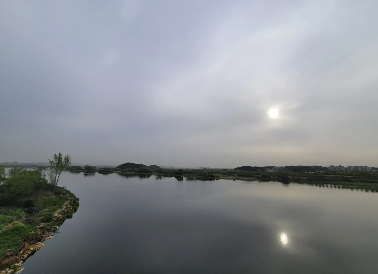
- Start: Platoon Cycles, Paengseong-eup, Pyeongtaek
- Finish: Tancheon–Han River confluence, Jamsil (Seoul)
- Distance: approximately 85 km (using the Singal-ro shortcut; closer to 90 km on the original loop via Dongbaek Lake Park)
- Elevation gain: roughly 250–320 m total — gentle the whole way
- Surface: mostly dedicated bike path; some levee roads and a few short detours on public roads
- Difficulty: beginner-friendly if you're comfortable with the distance
Komoot tour (starts at our shop):
👉 View / download GPX on Komoot
Segment-by-segment guide
The original post breaks the ride into six segments. Here's the same structure, adapted for a start from our shop.
From the shop → Pyeongseong Bridge → Anseongcheon (about 2 km)
Roll out of the shop, head north onto Pyeongseong Bridge (팽성대교), and drop down onto the bike path along Anseongcheon (안성천). Riders coming from Pyeongtaek Station would have ridden the first 6 km of Anseongcheon to get here; you skip that section.
Segment 1 — Jinwicheon (진위천), about 20 km
Most of this is levee road (둑방길). Some sections aren't officially marked as bike-only paths on the map, but there's no car traffic and the surface is flat and easy. Where blue cycling lines are painted, it rides exactly like a dedicated bike path.
Note: When you reach Hwangguji Stream, take the Hwangguji Bridge (황구치교) detour. If you try to go straight, you'll hit a stepping-stone river crossing that's not rideable.
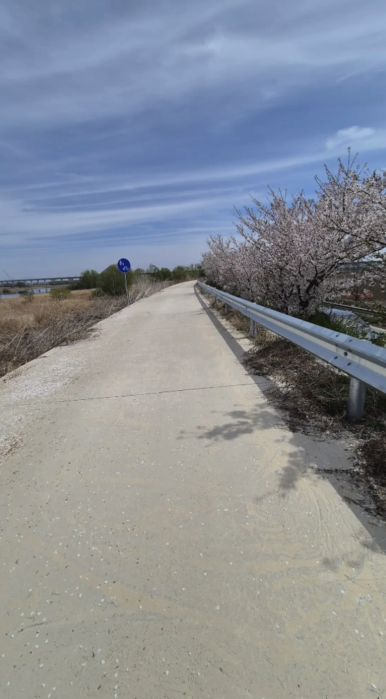
Segment 2 — Osancheon (오산천), about 10 km
The east-side path is nicely landscaped but has heavy foot traffic — keep your speed down. The west-side path is wider and easier to ride.
Construction detour: The Banseoksan Neighborhood Park section is currently closed for construction, so you'll need to take roughly 6 km of public road to detour around it until you reach Giheung Lake Road. The Komoot file above already includes this detour. When construction wraps up, a new connected path between Osancheon and Giheung Lake should make this section much smoother.
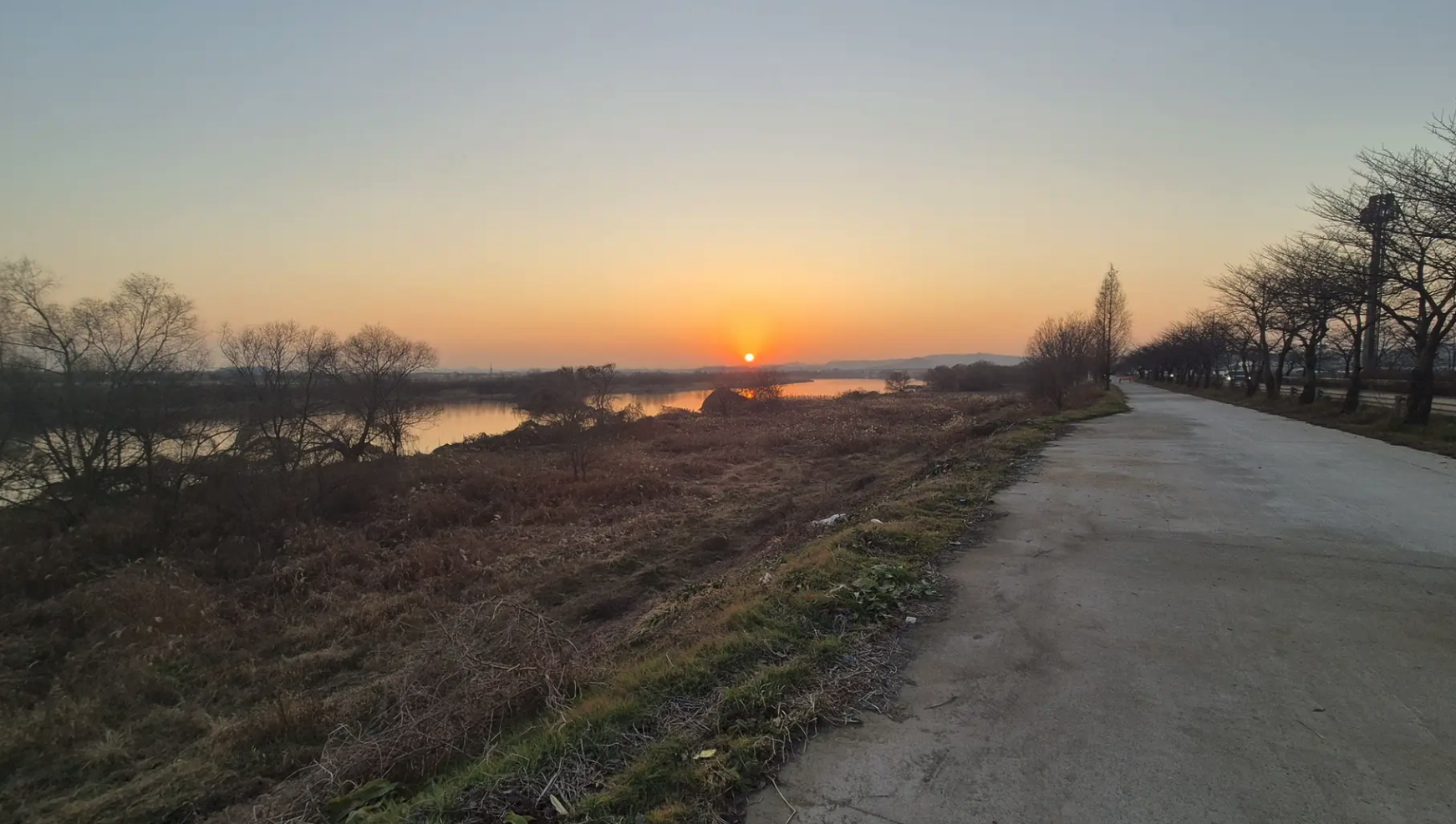
Segment 3 — Giheung Lake (기흥호수)
You join the Giheung Lake bike path near Gongsecheon. It's the third-largest lake in Gyeonggi Province — wide, open, and a nice change of scenery from the river paths.
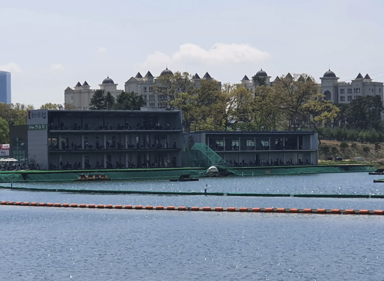
Segment 4 — Singalcheon (신갈천) — shortcut tip
The official route loops out toward Dongbaek Lake Park, which is about 12.5 km. The original author recommends a shortcut along Singal-ro that's only about 5 km — a flat public road that cuts roughly 7.5 km off the total ride. Our Komoot file uses this shortcut. If you'd rather have a fully separated bike path, the longer Dongbaek loop is fine, just note that the back half of Singal-ro on the official route has a gentle but noticeable uphill grade.
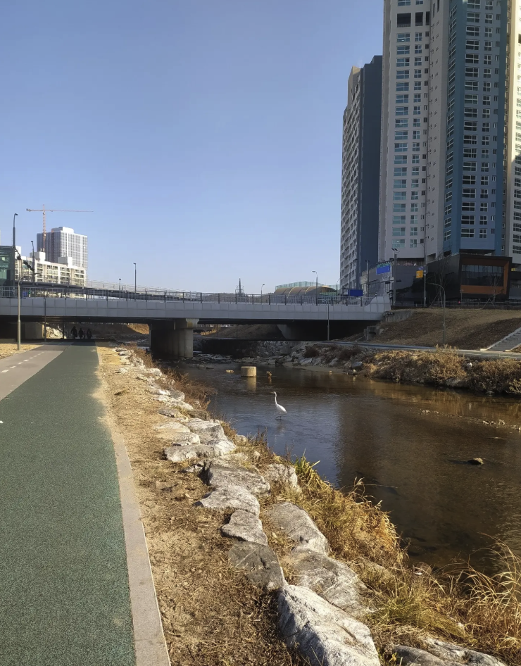
Segment 5 — Tancheon (탄천), about 30 km
The home stretch. Tancheon is one of the best-maintained bike paths in the Seoul area — smooth pavement, fully separated from pedestrians, and fast. Several subway stations sit right next to the path, so anyone in your group can call it a day whenever they want.
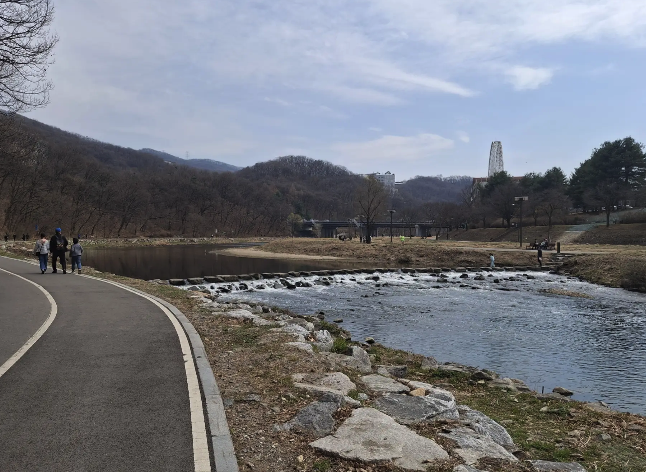
Recommended rest stop: the Tancheon Freshwater Fish Eco-Center near Gachon University. Quiet, with ponds and a riverside walking path — a good place to stretch your legs before the final push to the Han River.
The ride ends where Tancheon meets the Han at the Jamsil confluence, with easy access to Jamsil Station (Lines 2 and 8) for the trip home.
Things to know before you go
- The Osancheon detour is mandatory right now. Don't try to push through the closed Banseoksan section — load the Komoot file before you ride so the detour is on your screen.
- Hwangguji Bridge crossing on Jinwicheon is also a must — going straight dead-ends at a stepping-stone river crossing.
- Bail-out points: Line 1 stations (Pyeongtaek, Songtan, Osan, Suwon area) cover the southern half. Once you're on Tancheon, you have Bokjeong, Suseo, Gachon University, and several other stations close by.
- Best season: spring and autumn. Summer is rideable early in the morning but the rivers offer almost no shade.
- Convenience stores are easy to find along all five rivers — resupply isn't a problem.
Why we're posting this
We get asked a lot — especially by riders at Camp Humphreys — "What's a good long ride from here that doesn't involve a car?" This is one of the few routes that actually answers that question. It starts at our front door, it's flat, and it ends at a Seoul subway station.
If you want help loading the Komoot file onto your Garmin or Wahoo before you head out, or if you want a tune-up before a long ride, drop by the shop. We're at the start line either way.
Original article and full route documentation: Ohappy.net — 평택역~잠실 5개 하천길 가이드 — Happy Uki, 18 May 2026.
Platoon Cycles · 157 Paengseongdaegyo-gil, Paengseong-eup, Pyeongtaek-si, Gyeonggi-do · www.platooncycles.com