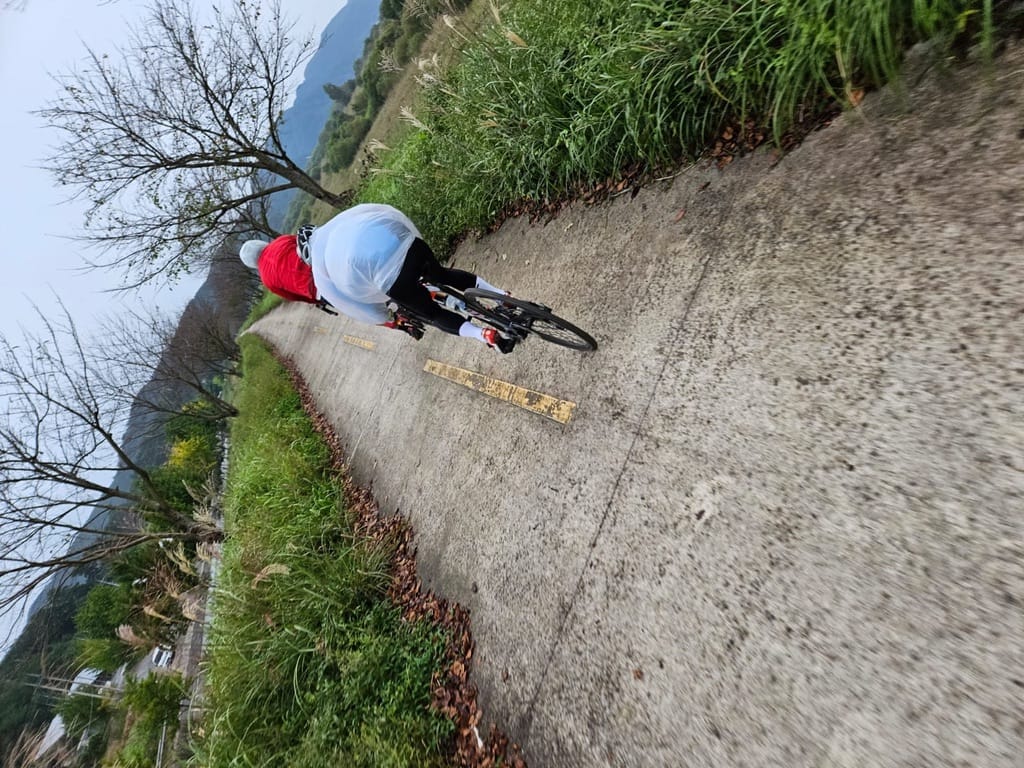
Stage-by-Stage Breakdown - [Cross-Country Series #4]
![Stage-by-Stage Breakdown - [Cross-Country Series #4]](/content/images/size/w1200/2026/03/A34CF531-304C-4877-8A26-47D7D7FE4853_1_105_c-1.jpeg)
In Part 2, we gave you a 5-day itinerary with distances and overnight cities. This post zooms in. Every section of the route, kilometer by kilometer — what the terrain looks like, where the hard parts are, where the views are, and what to watch out for.
Print this. Bookmark it. Pull it up on your phone at rest stops. This is the post you'll actually use while riding.
The Route: Four Paths, One Country
Quick reminder — the cross-country route is made up of four connected bike paths:
| # | Path (경로) | Distance | Stamps | Difficulty |
|---|---|---|---|---|
| 1 | Ara (아라) | 21 km | 2 | Easy |
| 2 | Han River (한강) | 188 km | 9 | Easy |
| 3 | Saejae (새재) | 100 km | 5 | Hard |
| 4 | Nakdong River (낙동강) | 389 km | 12 | Easy–Moderate |
| Total | 633 km | 29 |
Now let's break each one down.
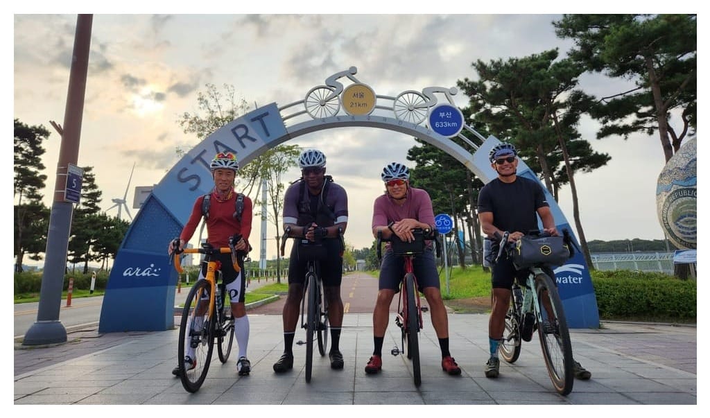
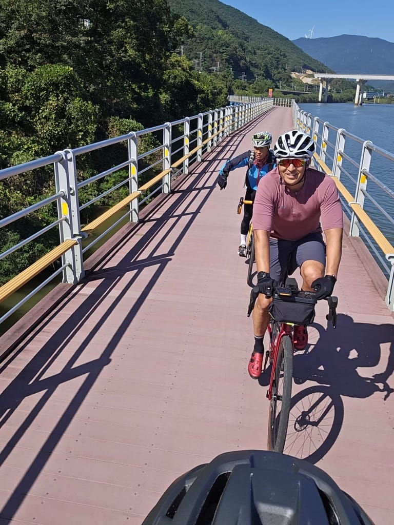
Stage 1: Ara Bike Path (아라자전거길)
Incheon → Han River / 21 km / Easy
The warm-up lap. You'll be done in under an hour if you push it — but don't. Take your time. This is where the adventure begins.
What You're Riding
A dead-straight canal path running along the Ara Waterway (경인아라뱃길), connecting the Yellow Sea to the Han River. Completely flat. Completely paved. Wide enough for two bikes side by side.
Key Points
| Km | Landmark | Notes |
|---|---|---|
| 0 | Ara West Sea Lock (아라서해갑문) | START. Take your photo at the starting monument. Buy your Bike Passport here if you haven't already. ✅ Staffed center. |
| ~5 | Ara Marina | Boats and waterfront views. |
| ~10 | Gimpo Area | Path runs between the canal and farmland. |
| 21 | Ara Hangang Lock (아라한강갑문) | End of Ara path. Stamp station here. You're now at the Han River. |
What to Know
- Wind: The canal is open and exposed. If there's a headwind, you'll feel every bit of it — even though the path is flat. Check the wind direction before you start. A strong westerly headwind can make this 21 km feel like 40.
- Resupply: There's a convenience store near the starting gate. After that, options are limited until you reach the Han River. Fill your bottles and grab snacks before you start.
- Don't rush it. It's tempting to blast through this section because it's short. But you've got 600+ km ahead. Set your pace here — it'll define your whole trip.
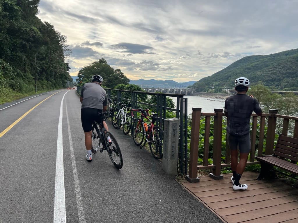
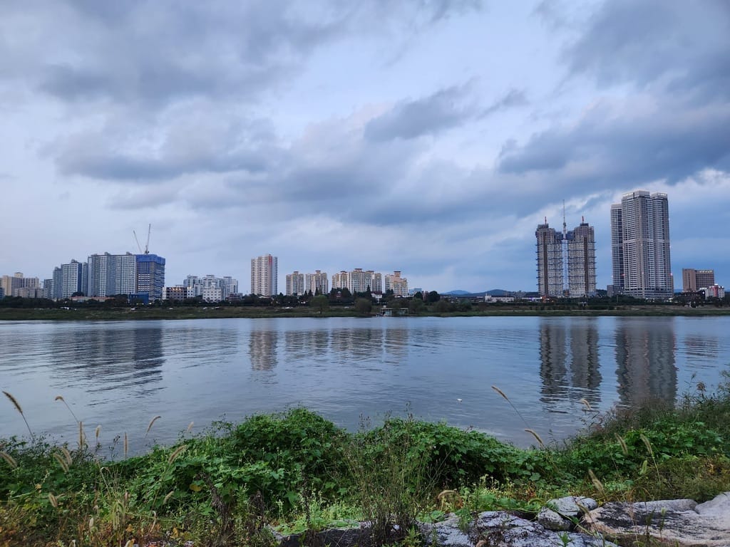
Stage 2: Han River Bike Path (한강자전거길)
Seoul Section + South Han River / 188 km / Easy
This is the longest flat section and where most riders find their rhythm. You'll ride through the middle of Seoul's skyline, then follow the South Han River deep into the Korean countryside.
Section 2A: Seoul (서울 구간) — ~56 km
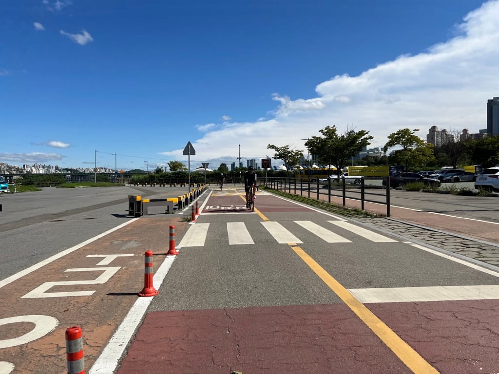
The urban stretch. The Han River bike path through Seoul is one of the best urban cycling experiences in the world — no exaggeration. Dedicated path, separated from traffic, running under bridges and past riverside parks.
| Km (approx.) | Landmark | Notes |
|---|---|---|
| 0 | Han River junction | Where the Ara path meets the Han River. Turn east (upstream). |
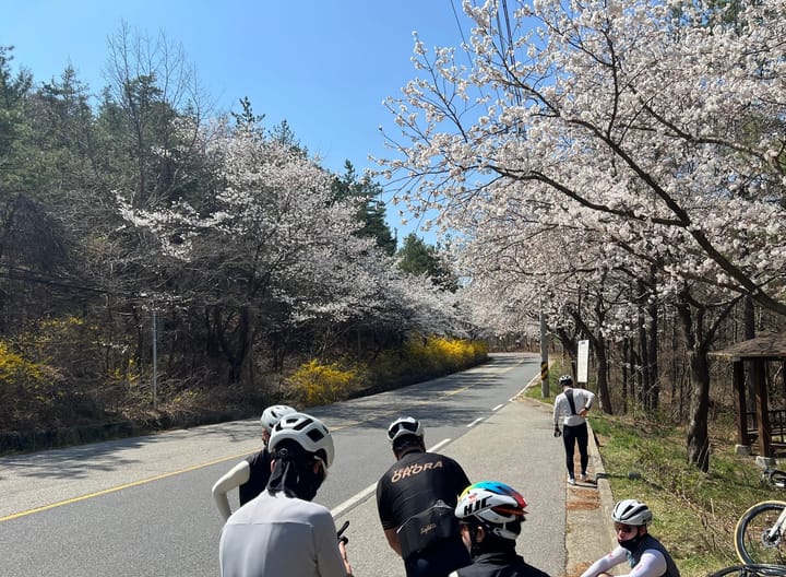
| ~15 | Yeouido (여의도) | ✅ Staffed center. Passport sold here. The National Assembly and 63 Building are right there. If it's cherry blossom season (April), this stretch is magical. |
| ~30 | Ttukseom (뚝섬) | Stamp station. Trendy area — cafes and food if you want a break. |
| ~45 | Gwangnaru (광나루) | Stamp station. Last stop in Seoul proper. |
| ~56 | Neungnae Station (능내역) | Stamp station. Old abandoned railroad station — cool photo op. You're officially out of the city. |
What to know about the Seoul section:
- Pedestrians. The Han River path is shared with joggers, walkers, couples strolling, and families with kids. Slow down in crowded areas. Weekends and evenings are especially busy. Ring your bell, pass on the left, and don't be the cyclist everyone hates.
- Navigation. The path is well-signed, but there are multiple junctions where you could take a wrong turn — especially where the north and south bank paths split. Stay on the south bank (남쪽) heading east. If you're on Naver Map, follow the "한강종주" route.
- Food & water. No worries here. Convenience stores, vending machines, and restaurants are everywhere along the Seoul section. This is the easiest resupply stretch of the entire route.
Section 2B: South Han River (남한강 구간) — ~132 km
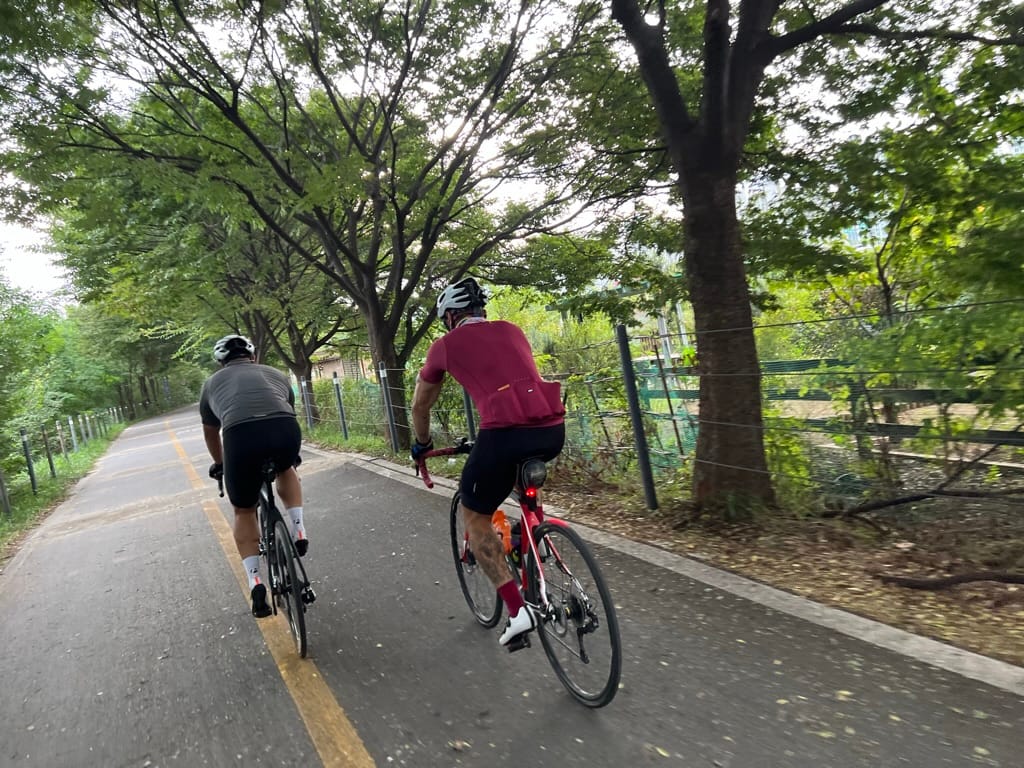
Where Seoul disappears and Korea's countryside begins. The concrete jungle fades into rice paddies, river valleys, and small towns. The path follows the South Han River upstream — still flat, still paved, but now it's just you and the river.
South Han River
| Km (approx.) | Landmark | Notes |
|---|---|---|
| ~70 | Yangpyeong (양평) | Stamp station. Popular weekend cycling destination. Cafes along the river. |
| ~100 | Ipo Weir (이포보) | ✅ Staffed center. Good rest stop. |
| ~115 | Yeoju Weir (여주보) | Stamp station. Yeoju is a solid overnight option — plenty of motels and restaurants. |
| ~145 | Gangcheon Weir (강천보) | Stamp station. Getting rural now. |
| ~188 | Chungju Dam (충주댐) | ✅ Staffed center. End of the Han River path. Major milestone — you're about to enter the mountains. |
What to know about the South Han River section:
- Weirs (보). You'll pass several large weirs — they're part of the Four Rivers Restoration Project. Each one has a certification center, restrooms, and usually a small park. Use them as natural rest stops.
- The path quality is excellent. Wide, smooth asphalt. Long, straight stretches where you can settle into a cadence and just cruise. This is the most "zen" part of the ride.
- Convenience stores thin out as you leave Seoul's orbit. After Yeoju, resupply becomes less frequent. Top off your water at every opportunity.
- Yeoju (여주) is a popular overnight stop for Day 1 if you're doing a 5-day itinerary (~138 km from Incheon). Lots of accommodation options and restaurants.
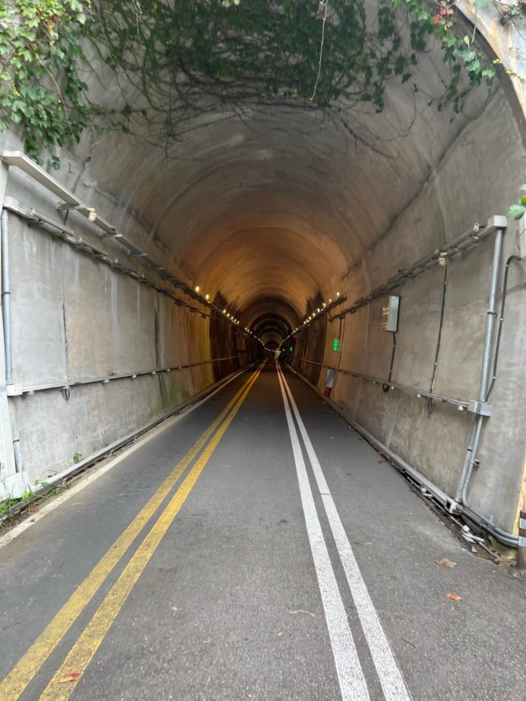
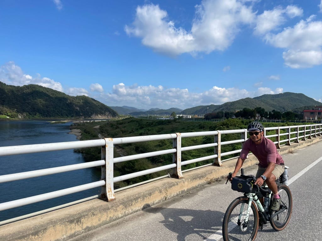
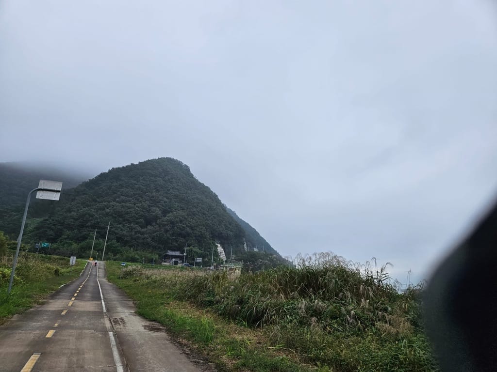
Stage 3: Saejae Bike Path (새재자전거길)
Chungju → Sangju / 100 km / Hard
This is the one everyone asks about. And worries about. And talks about for years after.
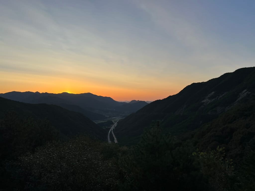
The Saejae path crosses the Baekdudaegan (백두대간) — the mountain spine that runs the length of the Korean peninsula. Two major passes. Real climbing. Real descents. And the most stunning scenery on the entire route.
If the Han River section was the body of the ride, Saejae is the soul.
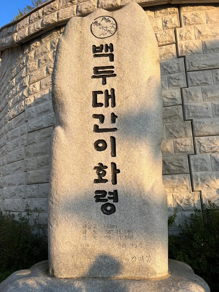
Ihwaryeong (이화령)
The Two Passes
Let's be clear about what you're facing:
| Pass | Name | Elevation | Climb | What It Feels Like |
|---|---|---|---|---|
| 1st | Sojoryeong (소조령) | ~350 m | Gradual, steady | A long grind. Not steep, but relentless. You'll be in your lowest gear for a while. |
| 2nd | Ihwaryeong (이화령) | ~548 m | Steeper, more challenging | The real test. Steeper gradients, switchbacks through the forest. The summit is the highest point of the entire cross-country route. |
Detailed Breakdown
| Km (approx.) | Landmark | Notes |
|---|---|---|
| 0 | Chungju Tangeumdae (충주탄금대) | ✅ Staffed center. Start of Saejae path. Fill your bottles, eat something substantial — the next few hours are all climbing. |
| ~20 | Suanbo Hot Spring (수안보온천) | Stamp station. If you're overnighting here, the hot springs are exactly what your legs need. Even if you're passing through, it's worth a mental note for the return trip. |
| ~35 | Sojoryeong Summit (소조령 정상) | First pass conquered. Catch your breath. The descent is your reward. |
| ~50 | Valley section | Between the two passes. A brief rolling section before the second climb begins. |
| ~65 | Ihwaryeong Summit (이화령) | Stamp station. THE summit. 548 meters. You're at the roof of the route. On a clear day, the view is endless — forested mountains in every direction. Take it in. You earned this. |
| ~75 | Mungyeong (문경) | Stamp station (Buljeong Station). Mungyeong is the typical overnight stop for Day 2. Small town, limited but sufficient accommodation. |
| 100 | Sangju Sangpung Bridge (상주상풍교) | Stamp station. End of Saejae. You've crossed the mountain spine of Korea. Everything from here is river valley riding to Busan. |
Survival Guide for Saejae
Pace yourself. This is not a race. Shift into your easiest gear and spin. If you try to muscle through the climbs, you'll blow up halfway and have nothing left. Steady, sustainable effort is the way.
Start early. Hit Chungju by 7–8 AM if possible. The climbs take longer than you think, and you want to clear both passes with daylight to spare. Getting caught on a mountain descent after dark is no fun.
Eat before you climb. Have a real meal — rice, protein, something substantial — at Chungju before you start the Saejae path. There are very few food options between Chungju and Mungyeong. Pack extra snacks and energy bars.
Water. Carry at least 1.5 liters. There are water fountains at some rest stops along the way, but don't count on them working. The hot spring town of Suanbo (수안보) is your last reliable resupply before the summit.
The descent is fast. After Ihwaryeong, you'll descend rapidly. It's exhilarating — but the road has curves, and your brakes need to work. Check your brakes before you start Saejae. Wet conditions make the descent significantly more dangerous.
Weather changes fast in the mountains. It can be sunny in Chungju and raining at the summit. Pack your rain jacket in an accessible pocket, not buried in your bag.
The mental game: The second pass (Ihwaryeong) is harder than the first — and you're already tired from Sojoryeong. This is where people quit. Keep pedaling. It ends. And when you reach the top, you'll understand why everyone says this is the best part of the entire route.
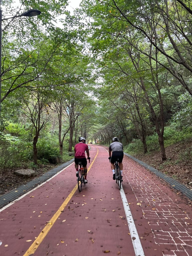
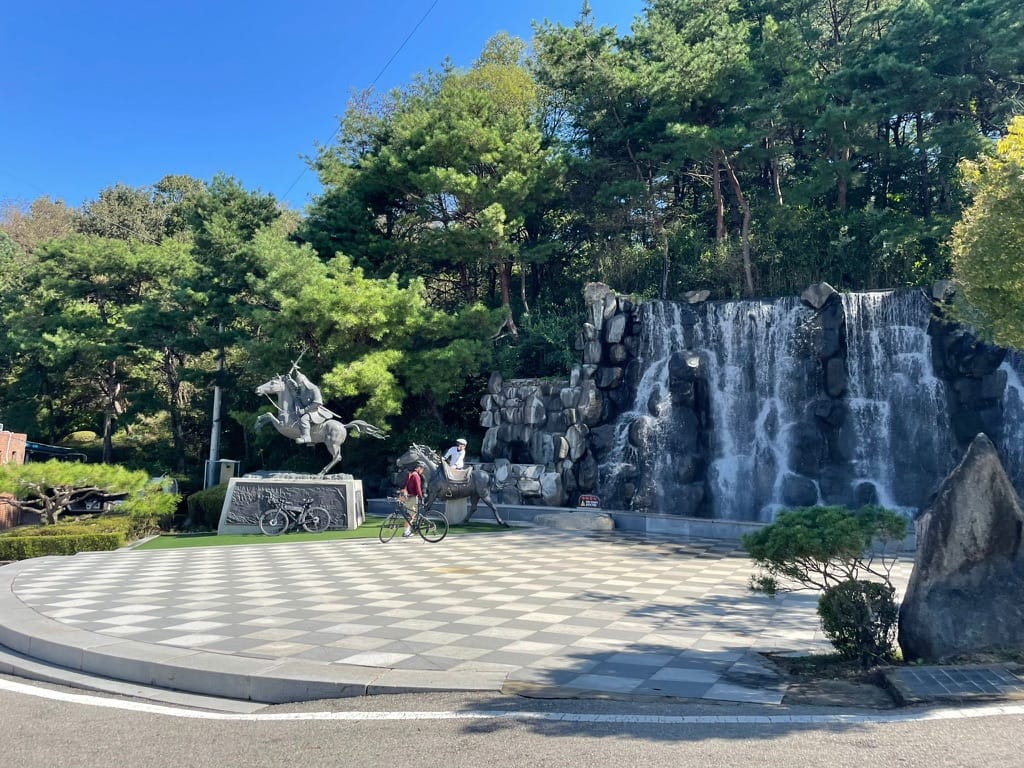
Stage 4: Nakdong River Bike Path (낙동강자전거길)
Sangju → Busan / 389 km / Easy–Moderate
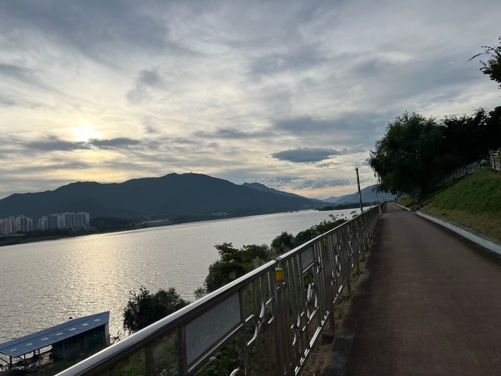
The long glide south. After the mountains, the Nakdong River path feels like a reward. You'll follow Korea's longest river — the Nakdong (낙동강) — from the interior all the way to the coast at Busan.
389 km sounds massive, and it is. But it's mostly flat, the path is wide, and the river keeps you company the whole way. This is where you settle into a groove and let the kilometers roll by.
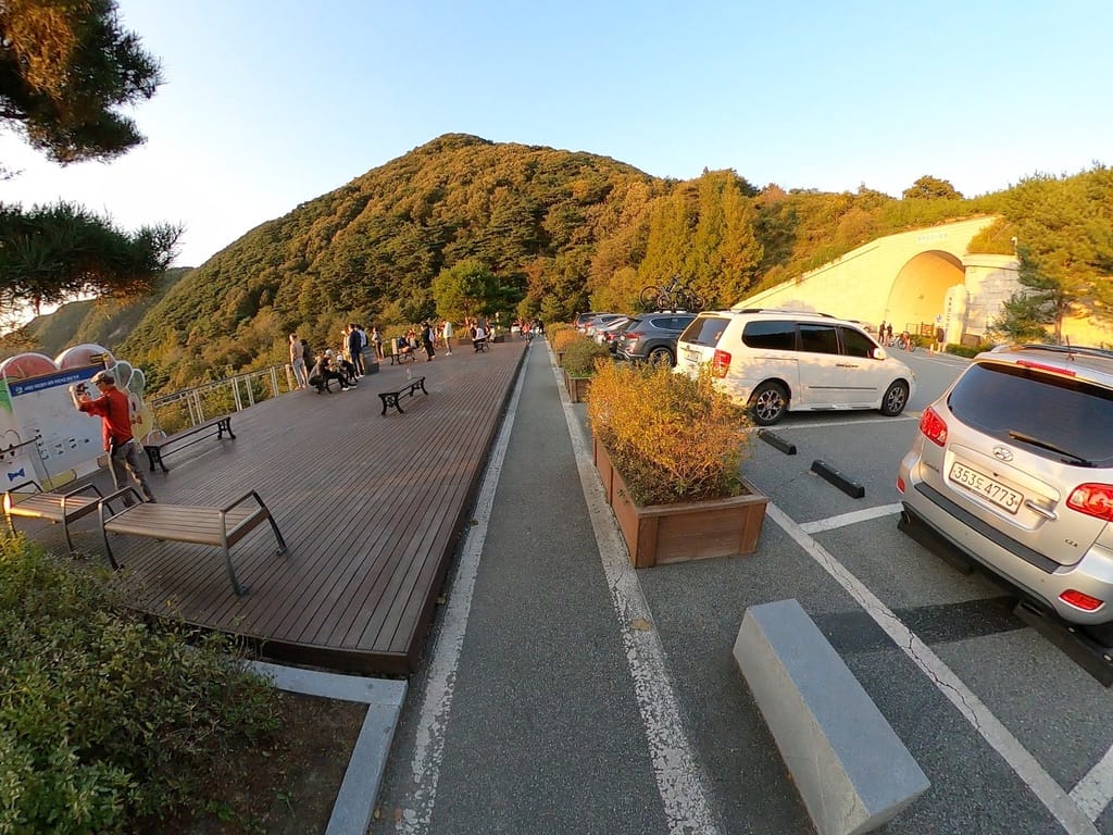
Nakdong River Bike Path
Section 4A: Sangju → Gumi (구미) — ~80 km
The post-mountain recovery. Your legs are sore from Saejae, but the terrain is gentle. Rolling hills, river views, and rural villages.
| Km (approx.) | Landmark | Notes |
|---|---|---|
| 0 | Sangju Sangpung Bridge | Start of Nakdong path. |
| ~15 | Sangju Weir (상주보) | ✅ Staffed center. Good rest stop. |
| ~40 | Nakdan Weir (낙단보) | Stamp station. |
| ~80 | Gumi Weir (구미보) | Stamp station. Gumi is a mid-sized city — plenty of food, motels, and convenience stores. A natural overnight stop. |
What to know:
- This section has some gentle rolling terrain — nothing like Saejae, but not dead flat either.
- Gumi (구미) is a good overnight city. It's big enough to have everything you need and marks a clean transition into the flatter southern sections.
Section 4B: Gumi → Daegu Area (대구 권역) — ~100 km
Into the heartland. The path straightens out and the landscape opens up — wide river, flat farmland, big sky.
| Km (approx.) | Landmark | Notes |
|---|---|---|
| ~95 | Chilgok Weir (칠곡보) | Stamp station. Approaching Daegu. |
| ~120 | Gangjeong-Goryeong Weir (강정고령보) | ✅ Staffed center. Convenience store and bike shop nearby — your last reliable bike shop until Busan. If anything needs fixing, do it here. |
| ~140 | Dalseong Weir (달성보) | Stamp station. South of Daegu. |
What to know:
- Gangjeong-Goryeong Weir is a key stop. It's the last staffed center with a bike shop nearby. Check your tires, brakes, and chain here. If you need a tube or any parts, buy them now.
- The Daegu area can be brutally hot in summer. If you're riding June–August, plan to start at dawn and rest during the midday heat.
Section 4C: Daegu → Changnyeong (창녕) — ~80 km
The quiet stretch. This is where Korea gets truly rural. Small villages, long straight paths, and fewer services.
| Km (approx.) | Landmark | Notes |
|---|---|---|
| ~160 | Hapcheon-Changnyeong Weir (합천창녕보) | Stamp station. |
| ~180 | Changnyeong-Haman Weir (창녕함안보) | Stamp station. |
What to know:
- This is the most remote section of the entire route. Convenience stores are sparse. Restaurants are few. Water refill opportunities are limited.
- Stock up before you leave Daegu/Gumi. Carry extra water (1.5–2 liters) and enough snacks to cover 80+ km without resupply.
- The path is well-maintained but can feel monotonous — long, straight, flat. Put on some music or a podcast. Or embrace the silence.
Section 4D: Changnyeong → Busan (부산) — ~130 km
The final push to the coast. You can smell the ocean. Almost.
| Km (approx.) | Landmark | Notes |
|---|---|---|
| ~200 | Gureumjae (구름재) | Stamp station. Near Uiryeong. |
| ~250 | Bakjin Hill (박진고개) | ⚠️ A steep 1 km climb. The route's last real hill. It comes out of nowhere after days of flat riding. Gear down and grind through it — it's short but sharp. |
| ~310 | Yangsan (양산) | Stamp station. Last city before Busan. Last resupply. |
| ~340 | Binae Island (비내섬) | Stamp station. You're in Busan's orbit now. |
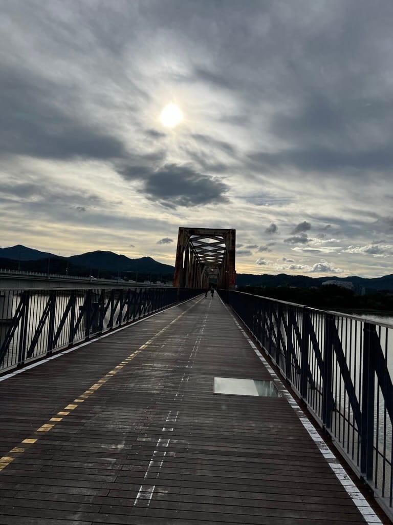
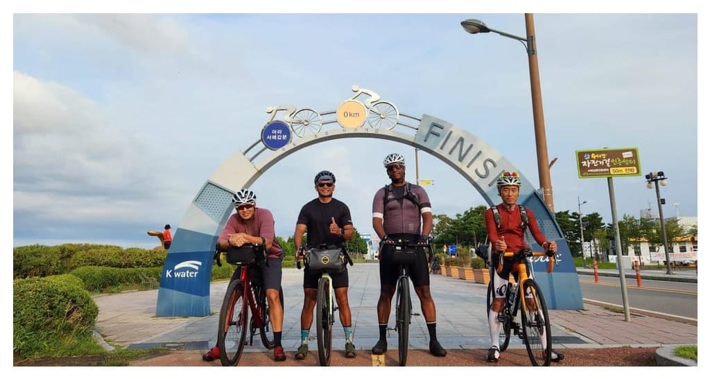
| ~389 | Nakdong River Estuary (낙동강하구둑) | ✅ Staffed center. FINISH LINE. You did it. Get your completion verified, take your photo, and breathe. |
What to know:
- Bakjin Hill (박진고개). Don't let the flat Nakdong River path lull you into complacency. This 1 km climb is steep — around 10–12% gradient — and it hits you when your legs have been in "flat mode" for days. It's short, but it bites. Just stand up, grind, and it's over.
- The last 50 km into Busan follow the river through increasingly urban areas. The path quality remains good, but you'll share it with more local cyclists and pedestrians.
- The finish line at Nakdong River Estuary (낙동강하구둑) is in Busan's Saha-gu district. It's not in central Busan — you'll need to take a bus or taxi to get to Busan Station for the KTX home. About 30–40 minutes by taxi.
The Elevation Profile: What It Actually Looks Like
Here's the big picture of what your legs are in for:
Elevation (m)
  600 ┤
      │                    ╱╲ Ihwaryeong (548m)
  500 ┤                   ╱  ╲
      │                  ╱    ╲
  400 ┤            ╱╲   ╱      ╲
      │           ╱  ╲ ╱        ╲
  300 ┤          ╱ Sojoryeong    ╲
      │         ╱                 ╲
  200 ┤        ╱                   ╲          ╱╲ Bakjin
      │       ╱                     ╲────────╱  ╲
  100 ┤──────╱                       ╲           ╲────
      │ Ara  Han River    Saejae      Nakdong River
    0 ┤──────┬──────────┬──────────┬──────────────────→
      0    21         209        309                633 km
Translation: Flat → Flat → MOUNTAIN → Flat (with one surprise hill).
The first 200 km and the last 300 km are essentially flat. The 100 km Saejae section in the middle is where all the climbing happens. Once you clear Ihwaryeong, it's gravity-assisted cruising to Busan.
Stage-by-Stage Quick Reference
| Stage | Distance | Elevation | Difficulty | Food/Water | Overnight Stop |
|---|---|---|---|---|---|
| Ara | 21 km | Flat | Easy | Limited | — |
| Han River (Seoul) | 56 km | Flat | Easy | Abundant | — |
| South Han River | 132 km | Flat | Easy | Moderate | Yeoju |
| Saejae | 100 km | 2 major passes | Hard | Scarce | Mungyeong |
| Nakdong (Sangju→Gumi) | 80 km | Rolling | Easy | Moderate | Gumi |
| Nakdong (Gumi→Daegu) | 100 km | Flat | Easy | Moderate | — |
| Nakdong (Daegu→Changnyeong) | 80 km | Flat | Easy | Scarce | Changnyeong |
| Nakdong (Changnyeong→Busan) | 130 km | Mostly flat + Bakjin | Moderate | Moderate→Urban | Busan |
The Hardest Parts, Ranked
Let's be specific about where you'll suffer — so nothing catches you off guard.
1. Ihwaryeong Pass (이화령) — Saejae, km ~265
The steepest sustained climb. Switchbacks through dense forest. Your lowest gear, your highest heart rate. The defining moment of the ride.
2. Sojoryeong Pass (소조령) — Saejae, km ~235
Not as steep as Ihwaryeong, but it's the first real climb. Your body isn't ready for it — especially after 200 km of flat riding. The shock is what makes it hard.
3. Bakjin Hill (박진고개) — Nakdong, km ~550
Short but vicious. 1 km at 10–12% after 300+ km of flat. Your legs have forgotten what climbing feels like, and this hill doesn't care.
4. The Nakdong River mental game — km 310–550
Not hard physically. Hard mentally. Long, straight, flat path through rural Korea with limited visual variety. This is where boredom becomes your enemy. Bring entertainment or ride with a partner.
Everything else is manageable. If you can handle these four challenges, you'll finish.
Next in This Series
- What Is the Cross-Country Route?
- Planning Your Ride: Days, Budget & Gear
- The Bike Passport: Korea's Stamp Rally System
- Stage-by-Stage Breakdown ← You are here
- Where to Sleep & Eat Along the Way
- Navigation & Apps
- What I Wish I Knew Before My First Cross-Country
Want to talk through the route before you go? Bring your phone — we'll walk through every stage with you and help you plan your daily distances based on your fitness level.
Platoon Cycles
📍 157, Pyeongseongdaegyo-gil, Paengseong-eup, Pyeongtaek-si
📞 070-8845-7351
🌐 www.platooncycles.com

![What I Wish I Knew Before My First Cross- [Country Cross-Country Series #7 Final]](/content/images/size/w720/2026/03/20231001_180018-1.jpg)
Comments ()